


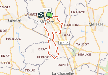

8.5 km | 9.6 km-effort


Tous les sentiers balisés d’Europe PRO


FREE GPS app for hiking
 SityTrail
IGN / Geographical institutes
SityTrail World
The world is yours!
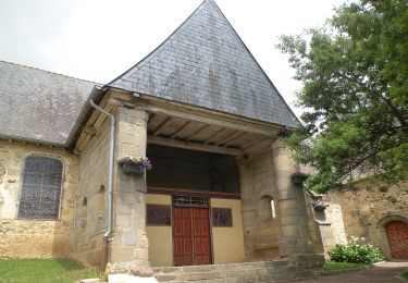
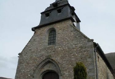
Trail On foot of 11 km to be discovered at Brittany, Ille-et-Vilaine, La Mézière. This trail is proposed by SityTrail - itinéraires balisés pédestres.
Trail created by Val d'Ille - Aubigné Communauté.
Symbol: yellow bar with number 1


On foot

On foot
On foot

On foot

On foot

On foot
On foot
On foot
Equestrian